


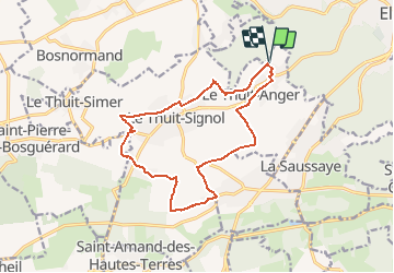


10.7 km | 13.8 km-effort


User


FREE GPS app for hiking
 SityTrail
IGN / Geographical institutes
SityTrail World
The world is yours!
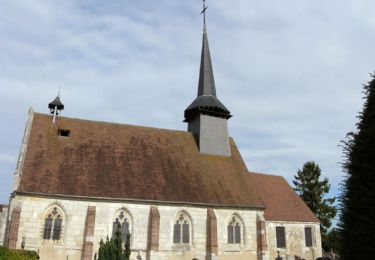
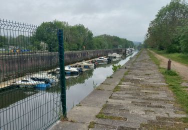
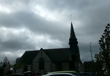
Trail On foot of 14.1 km to be discovered at Normandy, Eure, Le Thuit-de-l'Oison. This trail is proposed by Popaul27.
Walking
Walking
Walking

Walking
Walking

Mountain bike

Walking
Walking
Walking